Category: International Travel

  • Getting Back to Fundy-Mentals

    Getting Back to Fundy-Mentals

    From where I live in Maine, I have an embarrassment of hiking riches.  I’m four hours or so from Jacques-Cartier, an hour from both Baxter State Park and Katahdin Woods & Waters National Monument, a half hour to forty-five minutes from Acadia.  Looking for my usual Memorial Day escape this year, I entertained doing Evans Notch, a DIY loop trail in White Mountain National Forest between New Hampshire and Maine.  The only problem was, with a rare, spring Nor’easter on its way, there was snow in the forecast.

    Looking around, I saw that Fundy National Park was within striking distance, a mere four hours away from where we live near Bangor.

    The Journey May Be the Best Part

    If you’re coming up I-95, you can cross at Houlton and take Trans-Canada Highway 2 most of the way.  Coming from our area, we take the venerable Airline, Maine Route 9, to Calais and cross there, taking the Fundy Coastal Route.  I stopped at all the “Saint” towns along the way, culminating with St. John as Shabbos approached.

    I always like to visit Shaarei Zedek, a Conservative synagogue in St. John with a lovely building and an attached museum.  After services, I checked out the Reversing Falls.
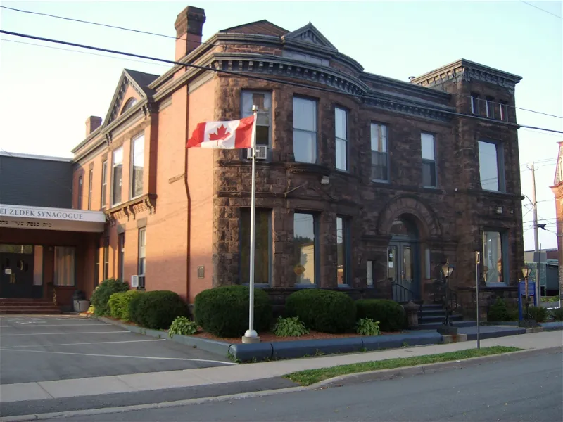
    Saint John Jewish Historical Museum (Saint John) - Visitor Information ...
    Shaarei Zedek in St John
    Reversing Falls in St John

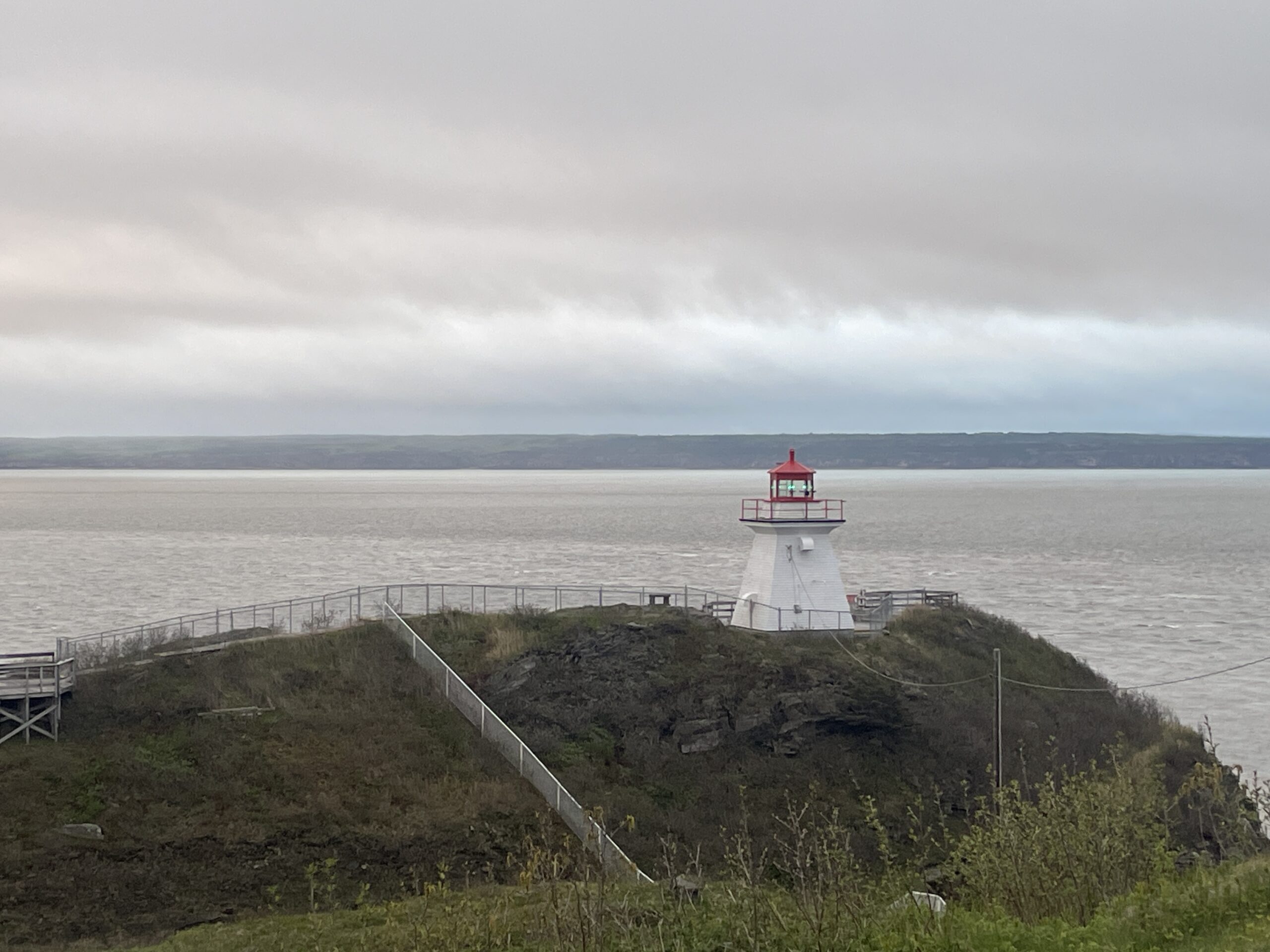
    After Shabbat, continued on to Moncton, and then stopped at Cape Enrage.  I was too early for the iconic Hopewell Rocks, but it’s nice to save something for another trip.

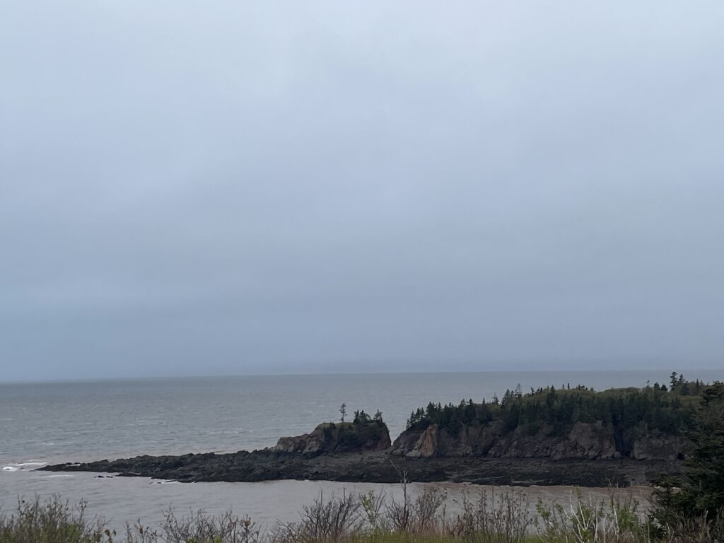
    Finally arriving at the Alma entrance to the national park, I took in the coastline, checked in with the park, and started my hike in a mild downpour.

    The Fundy Circuit
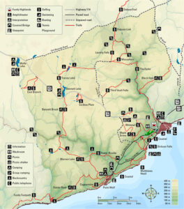
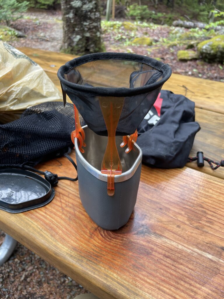
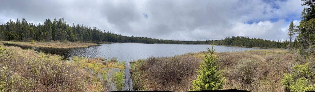
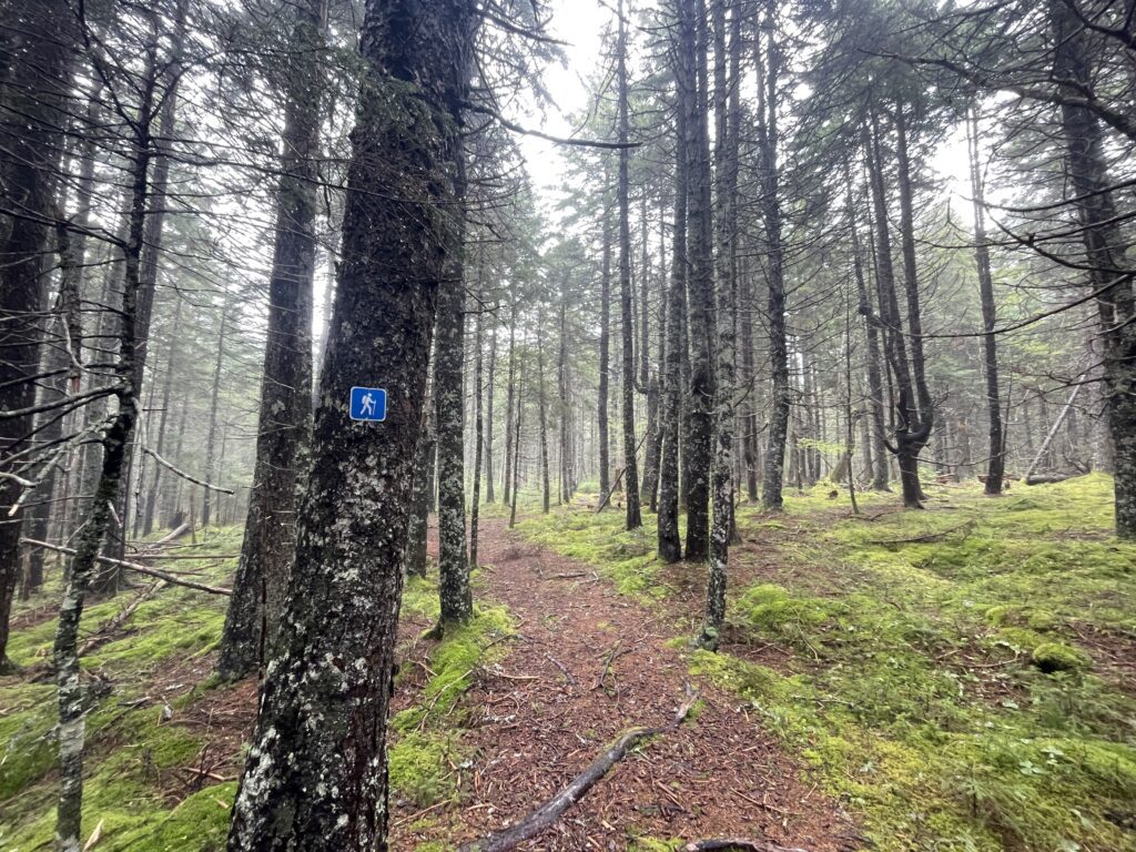
    This 28 mile hike was, to me, kind of “meh.”  There are some unbridged river crossings, but as far as a backcountry experience goes, even the Cutler Coast in Maine’s Washington County felt a little more dramatic.  Most of the hiking is inland, which is fine, but the scenery was limited to some lovely lakes, a gorge, both slow and fast-flowing rivers, and green tunnels.

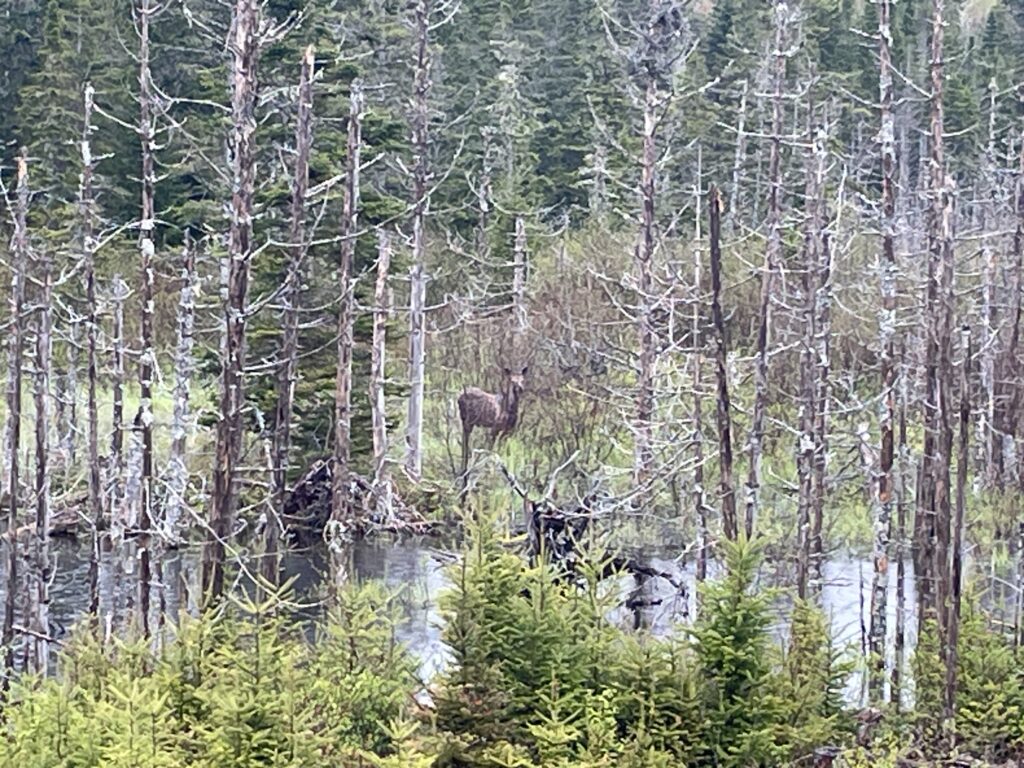
    Still, I sighted any number of moose.

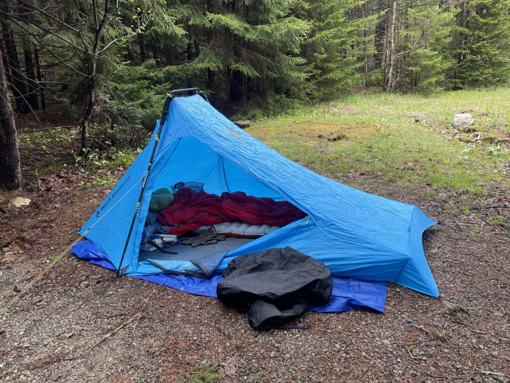
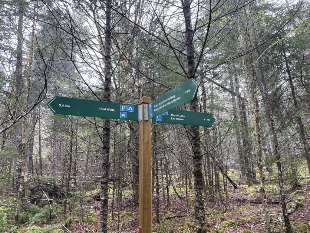
    Some notes about hiking in Fundy…backcountry sites require a fee-based, prior reservation with Canada’s national park system.  For the circuit, there are only a handful of options.  For me, I did day one at Marven Lake, and day 2 at Tracy Lake.  There are no options past that, so I recommend doing the hike clockwise, and saving the heavy Salmon River crossings for the end of the hike.  You spend less time with wet feet as a result.

    I beat black fly season by a hot minute, which was already in full swing in Maine.  It was also very rainy, which made the river crossings a little more hazardous.  One was cabled, another was not.  I watched a guy with a small dog attempt one of the crossings a few times, forcing his small dog to try and swim it.  Don’t be that guy.
    A Note About Jewish Safety

    Israel has issued a revised travel advisory for Jews in Canada.

    Travel Advisory
    Tel Aviv: The National Security Council (NSC) of Israel on Sunday issued a travel warning for Canada, citing an occasional threat to its citizens and Jews in the North American country. Issuing a message to Israeli citizens residing in or visiting Canada, the NSC requested them to take extra precautions, especially in public areas. It also suggested not to display Israeli or Jewish symbols, remaining alert for any kind of threats. The guidelines were issued following a rise in anti-Israel incidents targeting Jewish institutions in Canada over the past 18 months. The anti-Israel incidents included shooting, direct threats to Israelis or Jewish people and Molotov cocktail assaults.

    There was some serious vandalism at the synagogue in Fredricton, New Brunswick in recent months, so this may or may not extend to the Canadian Maritimes.  I thought hard about hiding my yarmulke when crossing the border, but my license plate literally has “JEW” in it so, kind of hard to obscure something so key.  At any rate, the Canadians I met were very kind.  My Jeep left the Fundy parking lot with yet another duck on the door handle.  Don’t believe the hype, it’s probably places like Toronto or Montreal.  We’ve visited Quebec several times, however, since October 7th with no problems.
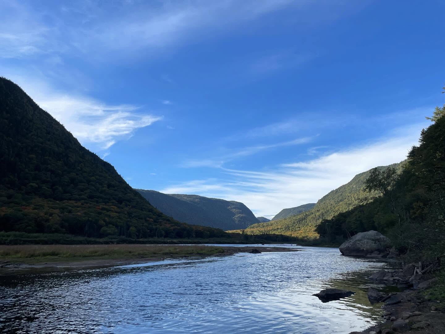
  • Autumn in Parc National de la Jacques Cartier

    Autumn in Parc National de la Jacques Cartier

    Where I live in Maine, for weekend adventures, I have a “can I get there and back again on a single tank of gas” philosophy.

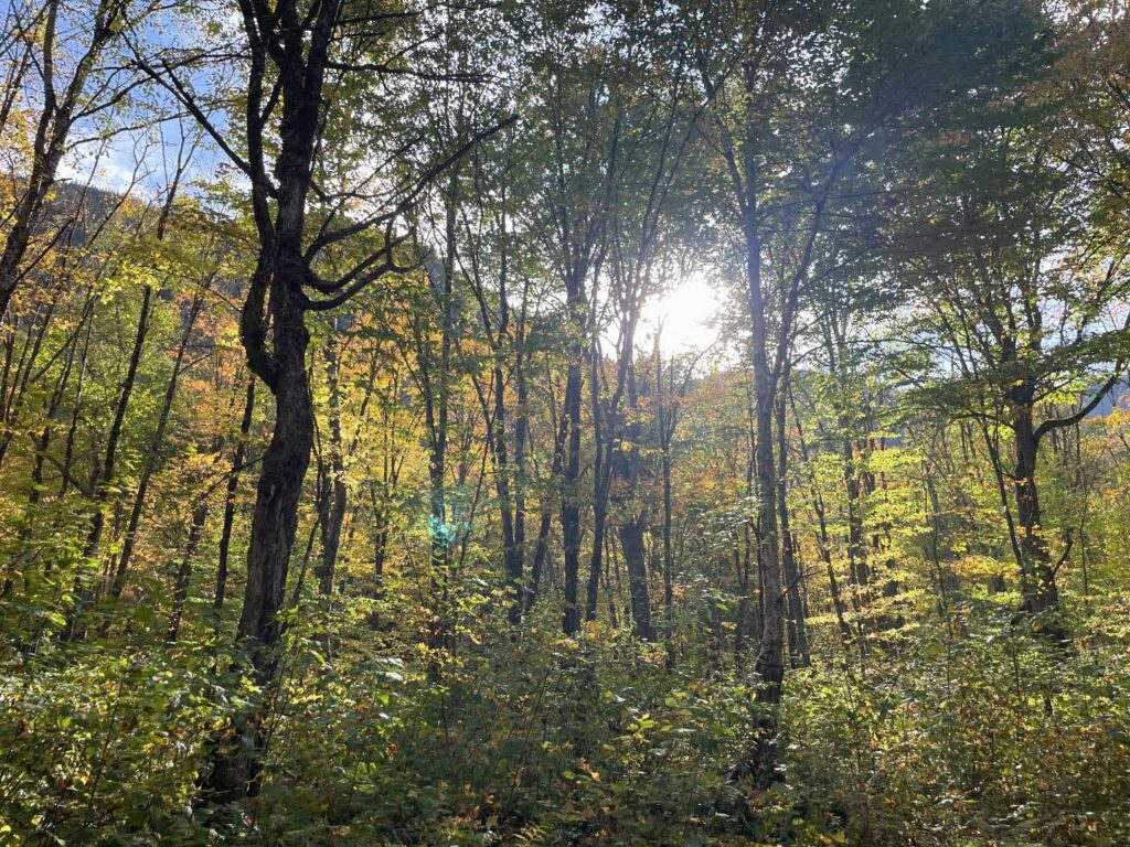
    Autumn light through a strand of trees.

    As it turns out, just north of Quebec is a gem of a Canadian National Park: Parc National de la Jacques Cartier

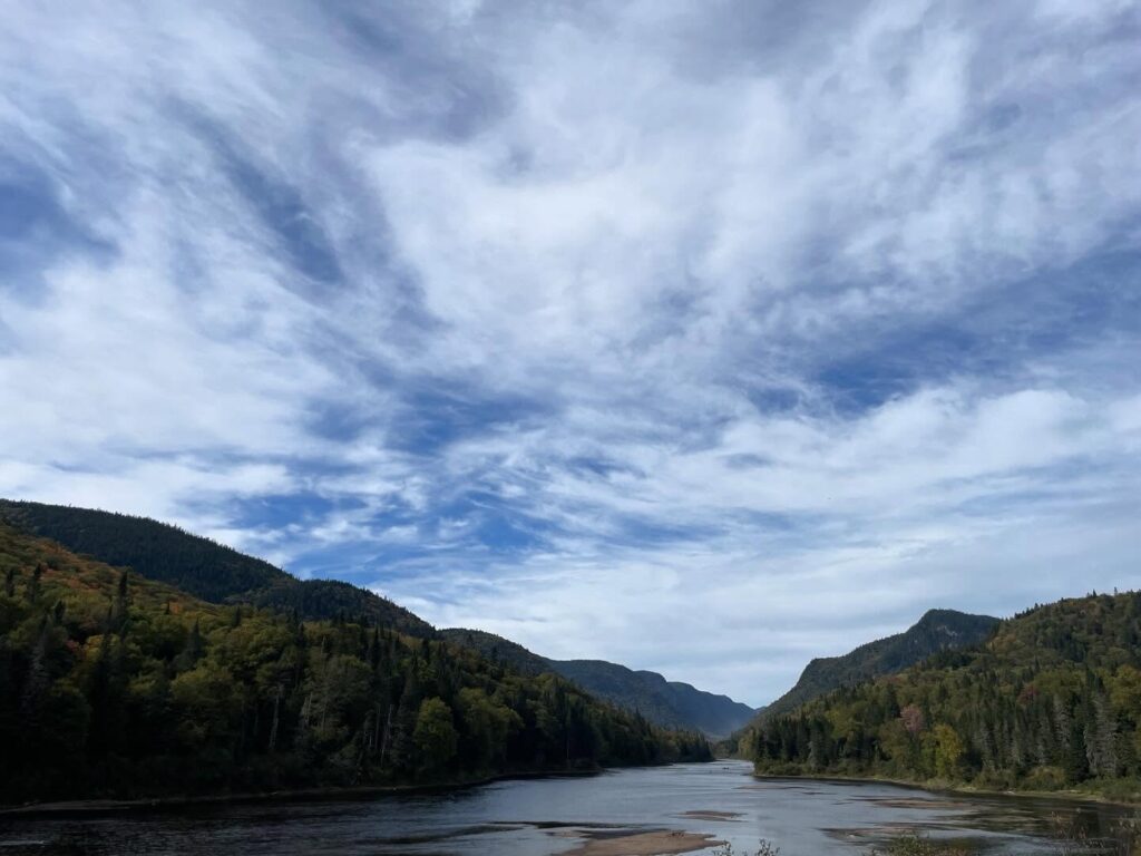
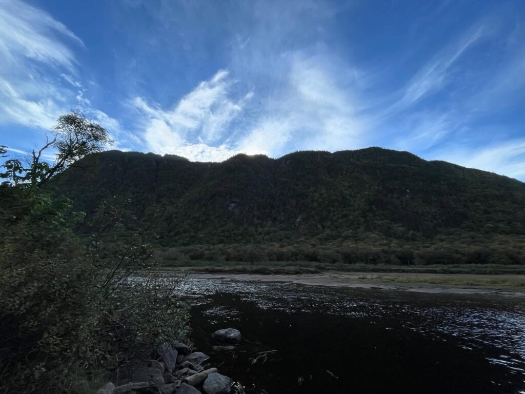
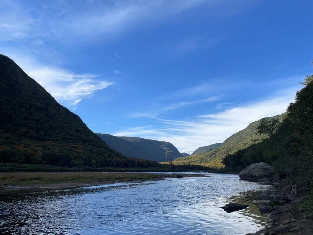
    The area is a giant mountain plateau carved with deep valleys during the last ice age. The Jacques Cartier Massif is within the Laurentides, part of the Laurentian Mountains that extend from Quebec to Newfoundland. Coming from Maine with its drowned coast and northern Appalachians, it reminds me more of the Poconos than anything, with its deep valleys.

    There are over 100km of trails in this park, several of which lead out the river that lends the place its name.  There are both back and front country camping options, though you must get your permits in advance.  I arrived too late to start my backcountry hike, and the rangers at the desk offered me an option to pay $6 Canadian to stay in the parking lot overnight.  I chose to go back to Quebec City and see the city at night, sleep in a parking lot (my Jeep works well for overnight stealth camping), and start fresh the next day.  The park is around 30 minutes from the city.

    It is a very accessible park, more so if you have a high-clearance, four-wheel drive car or truck, as a dirt-and-gravel road takes you deeper into the park and some amenities further up the river, like stables and such.

    How to Get There (From the Park Website)

    Valley Sector

    From Quebec City:

    • Take Route 73 North (follow the signs for Saguenay) which will become Route 175 North. The entrance to the Valley sector is located at exit 182, Chemin du Parc-National. From downtown Quebec City to the entrance to the Valley sector, it is 40 km. Add to that 10 km to the Discovery and Visitors Centre.

    Public charging stations for electric vehicles

    Six Level 2 charging stations are available at the Discovery and Visitors Centre parking lot. Details

    Transportation Service

    A transportation service is offered by Quatre Natures from Quebec City.

    Additional information

    Traffic coordinates

    Exit 182, Chemin du Parc-National
    Route 175
    Stoneham and Tewkesbury

    GPS:
    47° 06′ 30” N
    71° 20′ 50” W

    The park is open year-round. For better planning of your activities, take note of the period of operation of the services according to the sector.

    Valley Sector

    Opening of the National
    Park Trail From mid-May to the first snow: accessible up to km 33, depending on weather conditions
    From the first snow to mid-May: accessible to the Discovery and Visitors Centre (km 10)
    From the first snowfall, the Chemin de la Vallée is open only to the Discovery and Visitors Centre (km 10) which is open every day of the year, with the exception of December 25 and January 1.

    These dates are subject to change depending on weather conditions. We strongly advise you to contact us at 418 848-3169, ext. 6 to ensure the state of the road.

    Discovery and Visitors Centre

    Services: reception and information, equipment rental, general store, first aid service

    Periods:

    • November 1, 2024 to May 8, 2025
      • Daily, 9 a.m. to 4:30 p.m.
    • May 9 to June 12, 2025
      • Monday to Thursday, 9 a.m. to 4:30 p.m.
      • Friday, 9 a.m. to 7 p.m.
      • Saturday, 8 a.m. to 7 p.m.
      • Sunday, 8 a.m. to 5 p.m.
    • June 13 to August 24, 2025
      • Daily, 8 a.m. to 8 p.m.
    • August 25 to October 13, 2025
      • Monday to Thursday, 9 a.m. to 4:30 p.m.
      • Friday, 9 a.m. to 7 p.m.
      • Saturday, 8 a.m. to 7 p.m.
      • Sunday, 8 a.m. to 5 p.m.
    • October 14 to December 1, 2025
      • Daily, 9 a.m. to 4:30 p.m.

    At all times, it is mandatory to purchase your daily access online before your arrival. Be sure to keep proof with you at all times.

    Shoulder sector (fishing in accommodation at the Devlin cabins and the Pavillon du lac à l’Épaule)

    Sautauriski and Jumeau sectors (day fishing)

    Shoulder sector (winter accommodation at Devlin chalets)


  • Backpacking Nagano Prefecture in Japan

    Backpacking Nagano Prefecture in Japan

    A flower of snow
    On your shoulder seems to say:
    Welcome to Nagano!

    Keiko Yoshida – Nagano City

    My middle daughter, Avi, is a student at Temple University’s Tokyo campus.  She’s entering her junior year, but this was the first I’ve had the opportunity to come visit her in Setagaya.  Going inland proved to be a wise move after my arrival in Japan.  We lucked out and had a perfect evening on Enoshima, but a named typhoon was descending upon Tokyo, and we wanted to maximize our walking tours.

    Getting to Karuizawa Station

    We booked bus tickets from the Shinjuku Expressway Bus Terminal to Karuizawa.  The bus ride offered an interesting experience of Tokyo neighborhoods on its way out of town, and the ride into the mountains, with views of Mt. Miyogi and other named peaks was fantastic.

    There are three ways to get to Karuizawa from Tokyo: train, bus, or car.  Bus is the cheapest, between $3-20 USD.  Train is the shortest, especially if you take Japanese Railways Shinkansen (the famed “bullet train”).

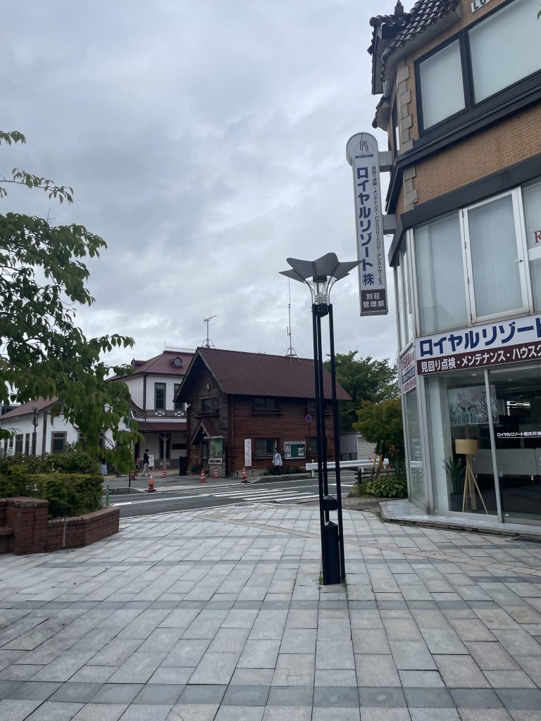
    Karuizawa is itself a lovely resort town in the mountains.  From Karuizawa Station alone, you can see nearby ski facilities.  It’s also home to fantastic outlet mall shopping, and plenty of restaurants.  The Shiraito Waterfall and Mount Asama are both worth the visit.

    A view of Kuruizawa including the original train station in background.

    Getting around Nagano Prefecture

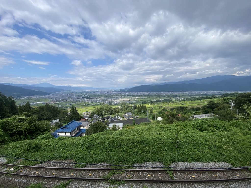
    The primary train around the prefecture is the Shinonoi Line, operated by East Japan Railway Company (or JR East).  We could have taken the bullet train from Karuizawa to Nagano, and then the Shinonoi Line, but we instead took the local line from Karuizawa Station to the station in Shinonoi, and transferred to the train that took us to Matsumoto.  This trip took around two hours, but it was worth it.

    Later, we took the same line all the way from Matsumoto to Nagano.  In all cases, the local trains will cost you no more than $5-35 USD.

    A spectacular view from the Sinonoi Line in Nagano Prefecture.

    Matsumoto

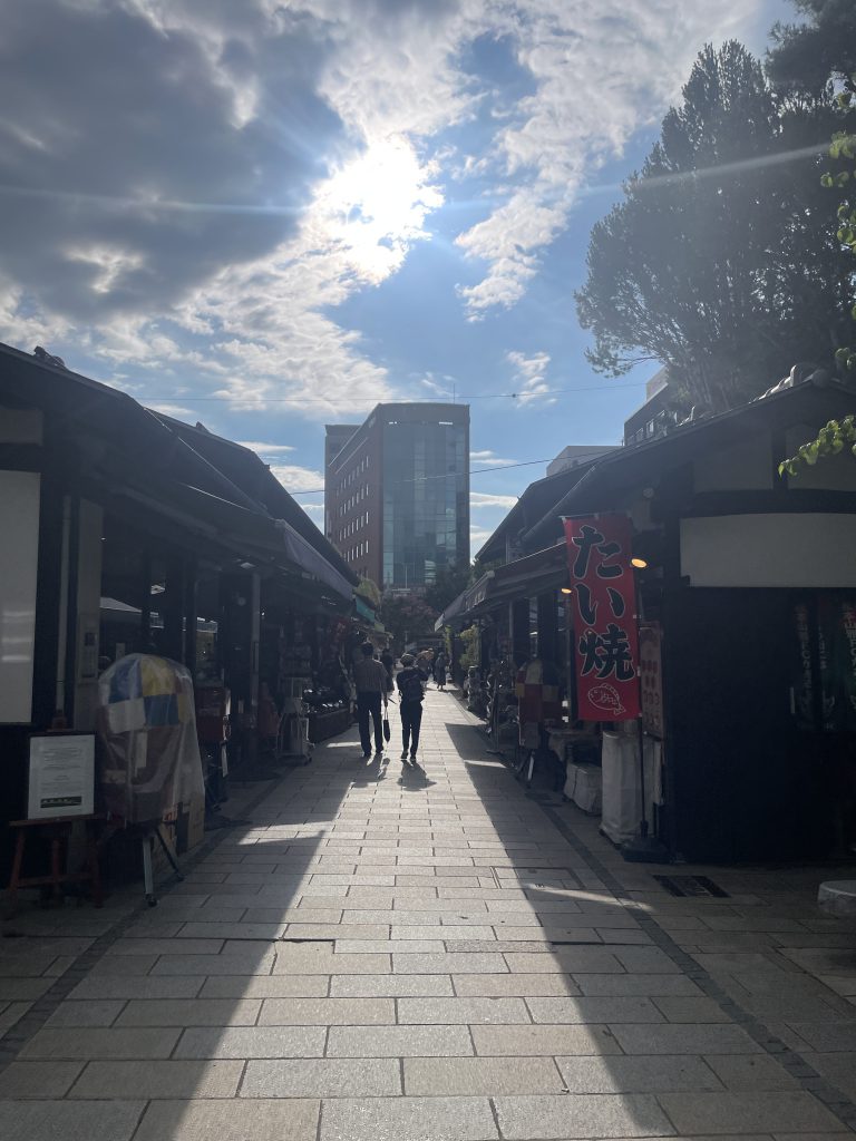
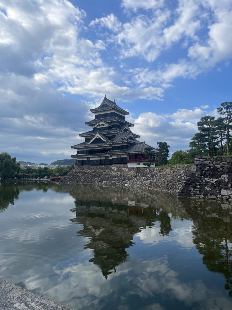
    Matsumoto is home of Matsumoto Castle, built by Ishikawa Norimasa and his son, Yasunaga in 1593-1594.  They were daimyo of Matsumoto under the Tokugawa shogunate.  It is a wonderful tourist destination, with its shopping and cultural experiences.  The castle is inexpensive to tour ($5 USD), but be prepared for hour-long wait times.

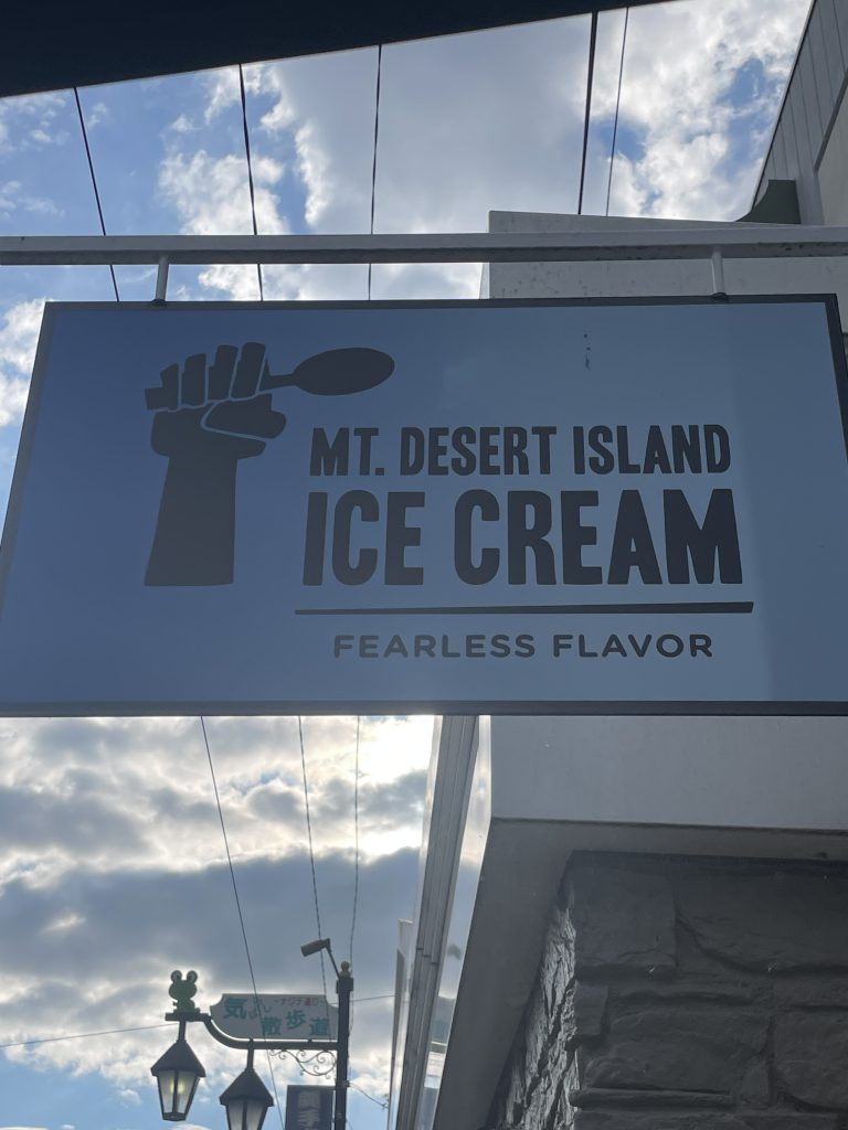
    Being good Mainers, to our surprise, we found Mt. Desert Island Ice Cream.  The flavors were a little bit different than what we’ve had before in Bar Harbor, but the staff were pleasantly surprised to have visitors from Maine.  I ordered a strawberry sorbet, and Avi ordered a peach combination which wasn’t to her liking.

    Mt. Desert Island Ice Cream is not under kosher supervision.  Cholov Yisroel is impossible to find in Japan, but Japan’s milk is wholly produced by dairy cows.  I doubt Rabbe Feinstein’s leniency applies to Japanese dairy.

    Nagano

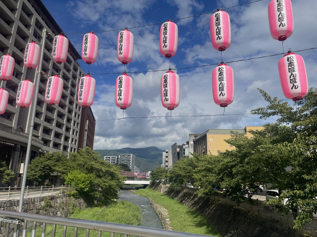
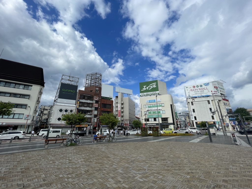
    Our overnight destination in Nagano Prefecture was the city of Nagano itself.  After a day in Matsumoto and enjoying the lovely train ride from Matsumoto to Nagano, we arrived in time to check into our hostel, Moritomizu Backpackers and Sharehouse, a quaint little place close to Nagano Station.  It was very low cost (around $50 USD a night for two of us), and within walking distance of many things.  The room was nothing special, futons, pillows, sheets, etc.  Common showers and bathrooms on the second floor.  A common dining room on the ground floor with a guitar, a mix of English and Japanese games and books, and tea/coffee service.  Sorting your trash is required.

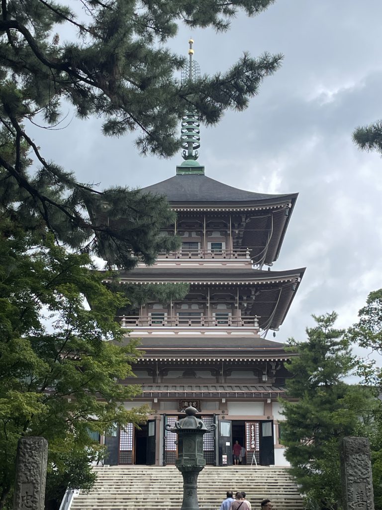
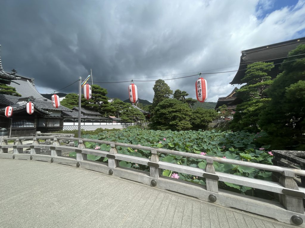
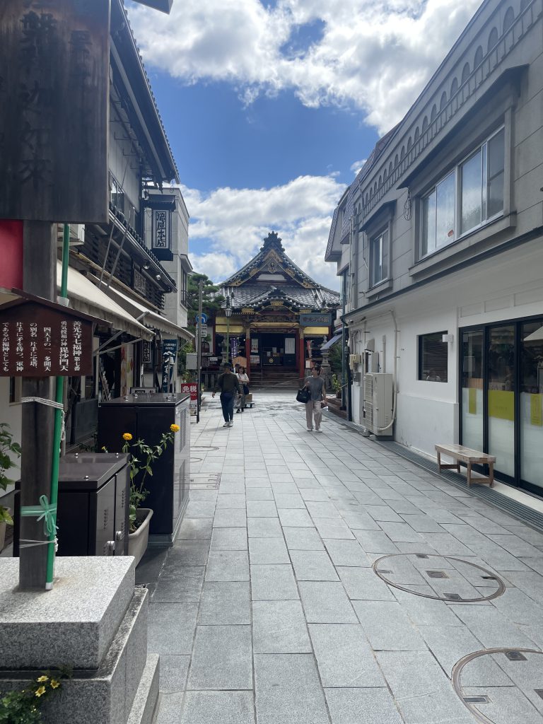
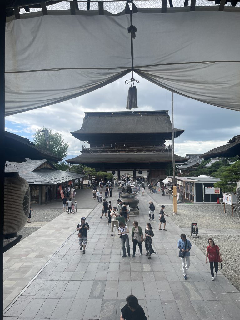
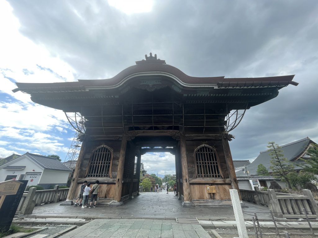
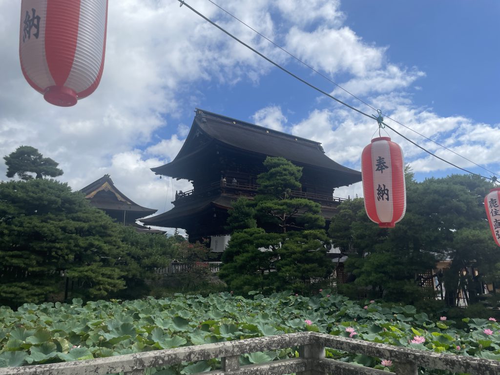
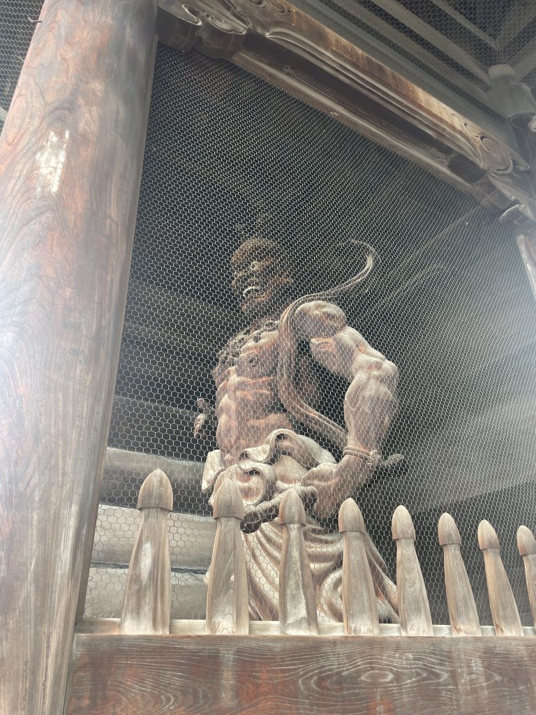
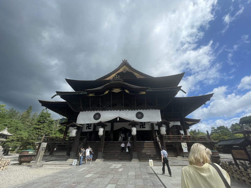
    There are many attractions in Nagano.  We focused our morning on the walk to Zenkoji Temple. There is a national park with snow monkeys that is a popular draw.   Skiing in the winter is fantastic.

    Komoro

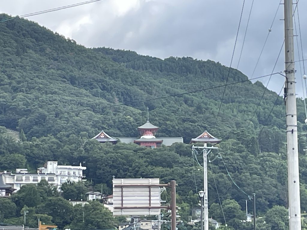
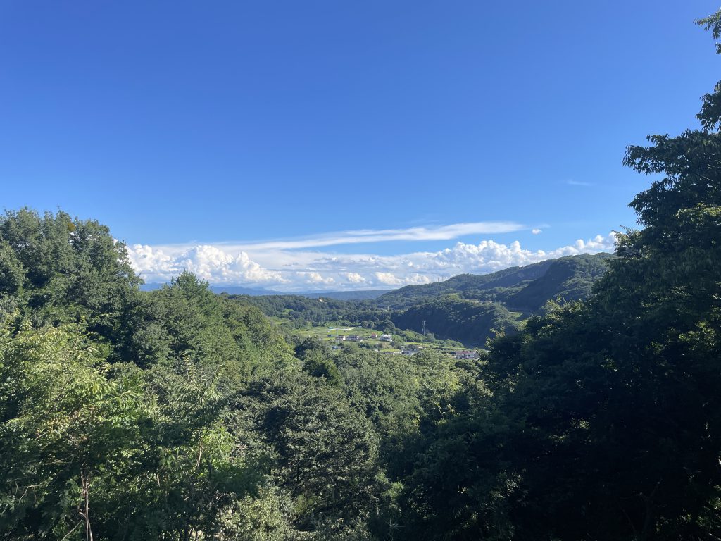
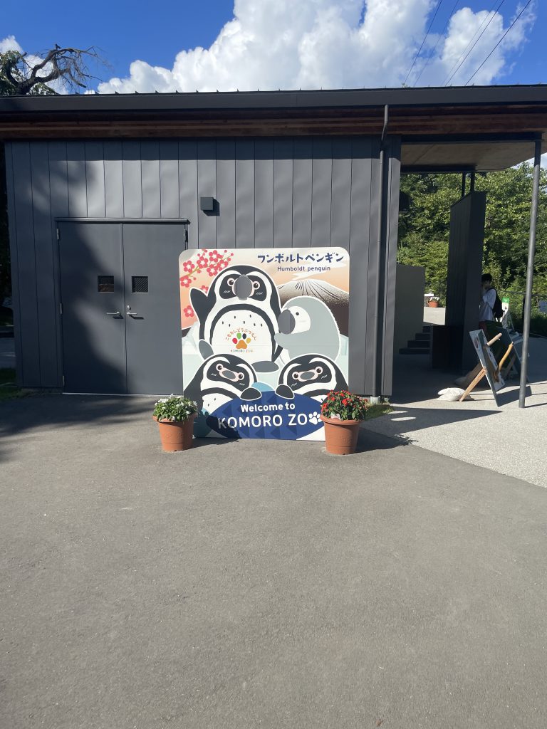
    Our final destination in Nagano Prefecture before returning to Karuizawa Station and ultimately Tokyo was Komoro.  Komoro has a small little amusement park, the saddest little zoo imaginable, and the grounds of castle ruins.  It is a beautiful area with the convergence of two mountain ranges and plenty of scenic views.

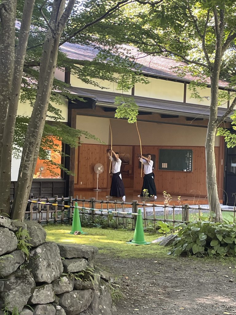
    We were really fortunate to see two men training in Japanese archery, kyudo.  The cost to tour the ruins and zoo was $5 USD.

    Kosher

    Kosher in Japan is difficult.  Given that if you’re a Jewish traveler in the country, you probably came through an airport in Tokyo, you’ll need to stock up on your trip in the city before you head elsewhere, as it’s hard to find hecshered products outside of Tokyo, Kobe, or Okinawa.

    National Abazu, a chain of three grocery stores in Tokyo, carries many imported hechshered goods.  Chabad of Japan in Tokyo also has a mini market.

    In Kobe, the community of Kansai can help with kosher food.

    Brian Kresge is a rabbinical student with the Pluralistic Rabbinical Seminary and president of Congregation Beth Israel in Bangor, Maine.

  • The Israel National Trail

    The Israel National Trail

    In honor of Yom Ha’Atzma’ut this week, The Kosher Backpacker is proud to present an overview guide and listing of resources to the Israel National Trail, or שביל ישׁראל.

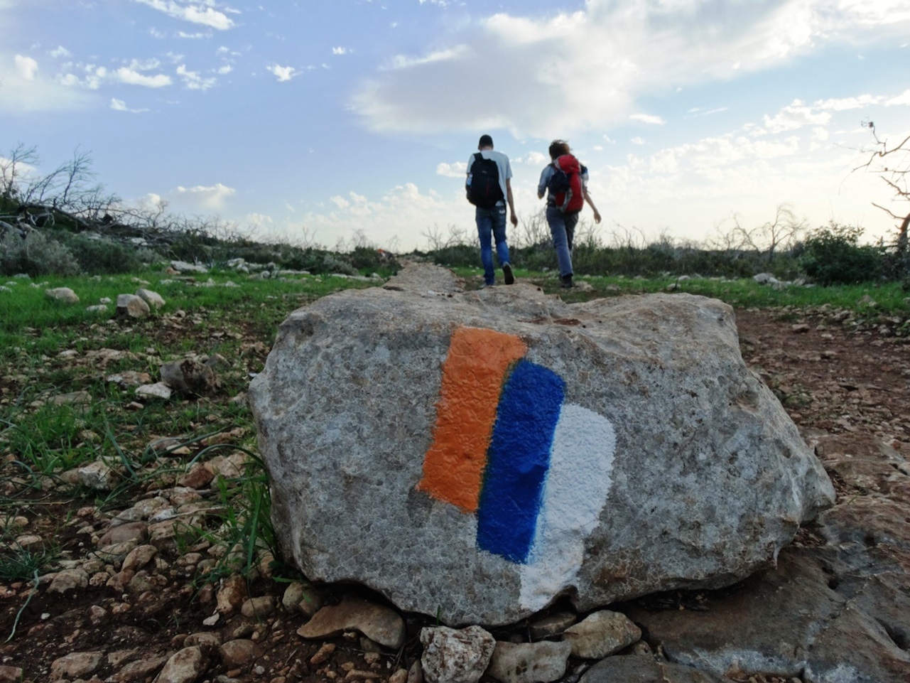
    The trail is the brainchild of Appalachian Trail hiker Avraham Tamir, realized under the direction of Ori Devir, then the Director of the Society for the Protection of Nature in Israel (SPNI). It is 620 miles/1200 kilometers long. Walking the entire trail takes 6-8 weeks. Most hikers go from North to South, though starting in Eilat may be desirable if you begin in spring. Many consider ending in Eilat, which is a wonderful resort town, to be more emotionally fulfilling than ending in Dan in the North.

    When To Go

    There are two ideal seasons to complete the hike: October through November, or February through mid-May. The landscape is far greener in the February to May block, and you’re more likely to find water sources.

    Many people recommend hiking the trail in winter. American Appalachian Trail hikers are acclimated to rain, and may enjoy the northern part of the trail and find the rainfall reminiscent of the the eastern United States.

    What to Pack

    I don’t list brands, because I’m not advertising specific ones in this post. I just recommend, more than I do for AT thru-hikers, to go light. The Negev especially can be hard on a backpacker, and lighter will help you avoid de-hydration.

    General

    • Backpack (preferably an ultralight)
    • Hiking boots / sneakers
    • Walking sticks (optional)
    • Small knife
    • Compass
    • Sandals/crocs (preferably sandals you can hike in)
    • Hydration (bottles or reservoir)
    • Headlamp
    • Trail guide
    • Sunglasses
    • First aid kit / toiletries
    • Any electronics you want. In spite of desert, rechargeable powerbanks work better than solar chargers.

    Sleeping

    • Lightweight 1/2 person tent
    • Sleeping pad (I go with closed cell because of puncture frequency)
    • 3 season sleeping bag or blanket (prefer a light blanket)

    Cooking

    • Lightweight pan or pot
    • JetBoil or MSR Pocket Rocket (canisters are available)
    • Mug / bowl
    • Spork, or other cheapo eating implement
    • Lighter

    Clothing

    • Bandana or sun hat
    • Fleece cap (depending on season)
    • Waterproof jacket (depending on season / you can get by sometimes with an umbrella)
    • cotton/hybrid long sleeve shirt (can help with sun protection)
    • Convertible pants
    • Lightweight fleece top or down puffer, depending on season
    • wicking t-shirts (2)
    • 2 pairs of socks
    • 2-3 pairs of underwear
    • Bikini and necessary bras for women

    On Phones

    US and Canadian cell phone carriers do offer roaming plans if you plan to visit Israel, however, they are the province of the disturbingly wealthy. The Israel National Trail has a variety of conditions that make carrying a phone desirable. If your phone is unlocked, you may be able to acquire an Israeli SIM card for it.

    Otherwise, you should rent (a possibility) or buy a short-term Israeli phone plan while you are there.

    Trail Angels

    In Israel, “trail angels” are a little different than the ones you encounter on the Appalachian Trail. In Israel, they actually maintain a register of these folks, so there’s an element of predictability that you don’t find in the United States.

    The only English list of trail angels can be found here.

    Regions of the Hike

    The Negev

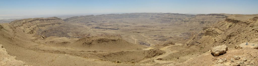
    Makhtesh Katan in the Negev – by Ester Inbar, available from http://commons.wikimedia.org/wiki/User:ST.

    For hikers familiar with American desert hiking, this isn’t significantly different. The logistics of water/supply caching can be a little easier than some desert hikes in the American Southwest.

    You’ll fall in love with the rust, purple, and ochre terrain, juxtaposed against the clear blue skis. Canyons and ridges, makhteshim (craters), acacia trees growing isolated by dry river beds…the land is ancient and spectacular.

    Make the Palmah Ascent, a route used by Jewish forces in the 1940s as they skirted British troops.

    Enjoy the renowned hospitality of the Bedouin while looking out for the Nubian Ibex, wolves, and the occasional camel.

    Jerusalem and Valley of Elah

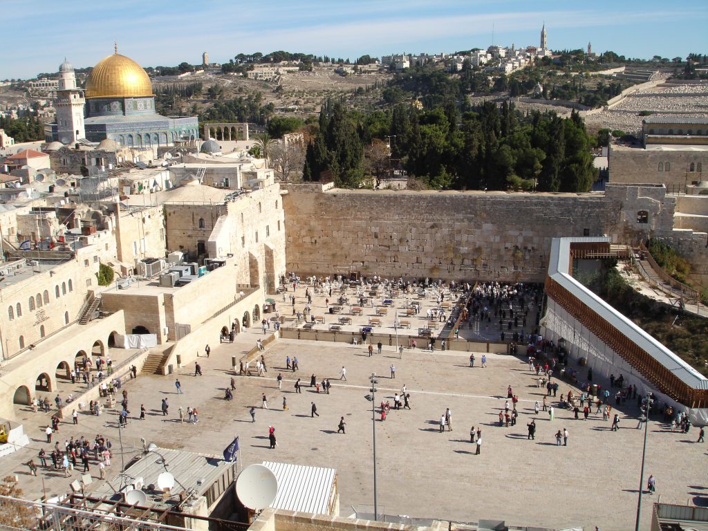
    We’ll do a separate post about it of these days, but with an additional 26 mile loop on the Jerusalem Trail, you can take in many of the amazing sights of Israel’s beloved capital.

    The North

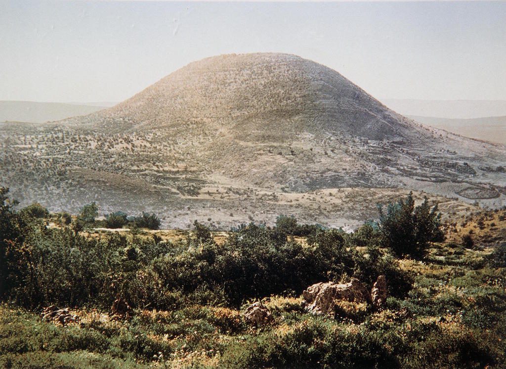
    COLOR PHOTO OF MOUNT TABOR TAKEN IN THE LATE 19TH CENTURY BY FRENCH PHOTOGRAPHER, BONFILS. צילום צבע מסוף המאה ה19 של הצלם הצרפתי בונפיס אשר תעד במצלמתו את נופי ארץ ישראל ותושביה. בצילום, הר התבור.

    Fertile farmlands, lush greenery that stands in contrast to the Negev, sites central to three of the Abrahamic faiths, Roman ruins, and so much more.

    So, you should know…

    Camping can be problematic. Sites are designated, litter is a problem, and Israelis are, well, interesting. They have a different regard for personal space and consideration of public conduct than people from the United States and Canada. If you can’t sleep through noise, many of the campsites on the INT will be a troublesome experience for you.

    Still, Israelis are well-known for their hospitality. If you don’t speak Hebrew, no worries, most signage is in English, and most folks you encounter will speak English, in many cases better than you do.

    Additional Resources

    Israel National Trail and Jerusalem Trail Guidebook

    https://www.israeltrail.net/

    http://theintexperience.com/ – Excellent online guide, broken down into sections

    https://israelhiking.osm.org.il/ – (Hebrew) online map, good chance to brush up on your language skills